Real-time GPS for
every wheel you own.
Vehicles, trailers, equipment — one map, one source of truth. Live location sharing for customers, geofencing for alerts, and a helicopter view when you need to see everything at once.

Product highlights
Monitor your fleet with real-time GPS
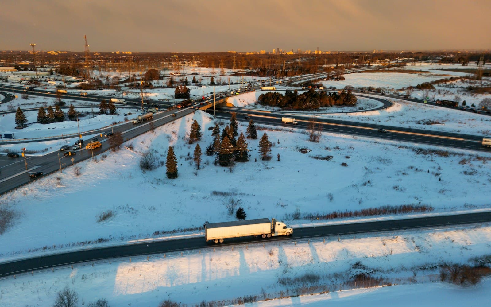
Helicopter view
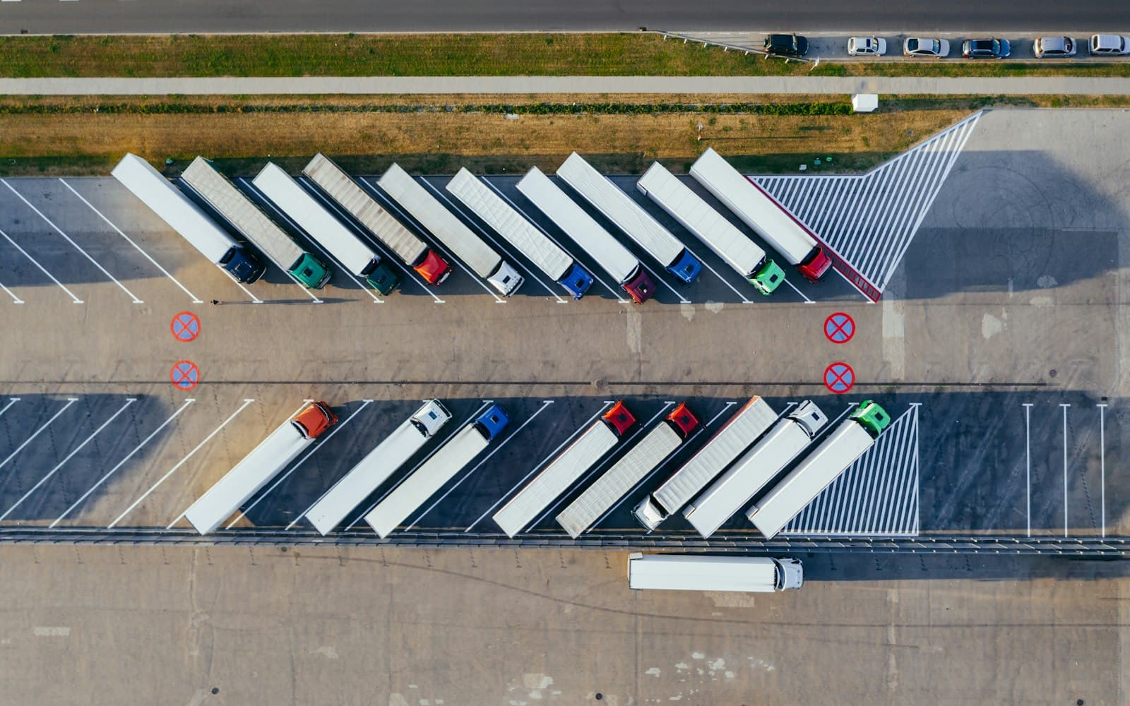
Aerial visibility on every asset, instantly
Remove the guesswork. See where every vehicle, trailer, and piece of equipment is — right now — in one view. Simplify route navigation and assist authorities if anything goes missing.
- Live aerial view
- All asset types in one map
- Fast search across the fleet
Smart map overlays
Weather, traffic, and infrastructure on the map
Stay ahead of weather and traffic. Find the nearest fuel stop or charging station. Adapt to changing conditions to keep drivers on schedule.
- Live traffic & weather
- Fuel/charge station overlay
- Quick rerouting
Live location sharing
Give customers their own tracking link
Send a tokenized share link. Customers get an accurate ETA and stop calling dispatch.
- Per-order share link
- Accurate ETA
- No login required

Geofencing
Trigger alerts at the boundary
Get notified the moment an asset enters or leaves a site — or when something happens that shouldn't.
- Site entry / exit alerts
- After-hours movement alerts
- Multi-recipient routing
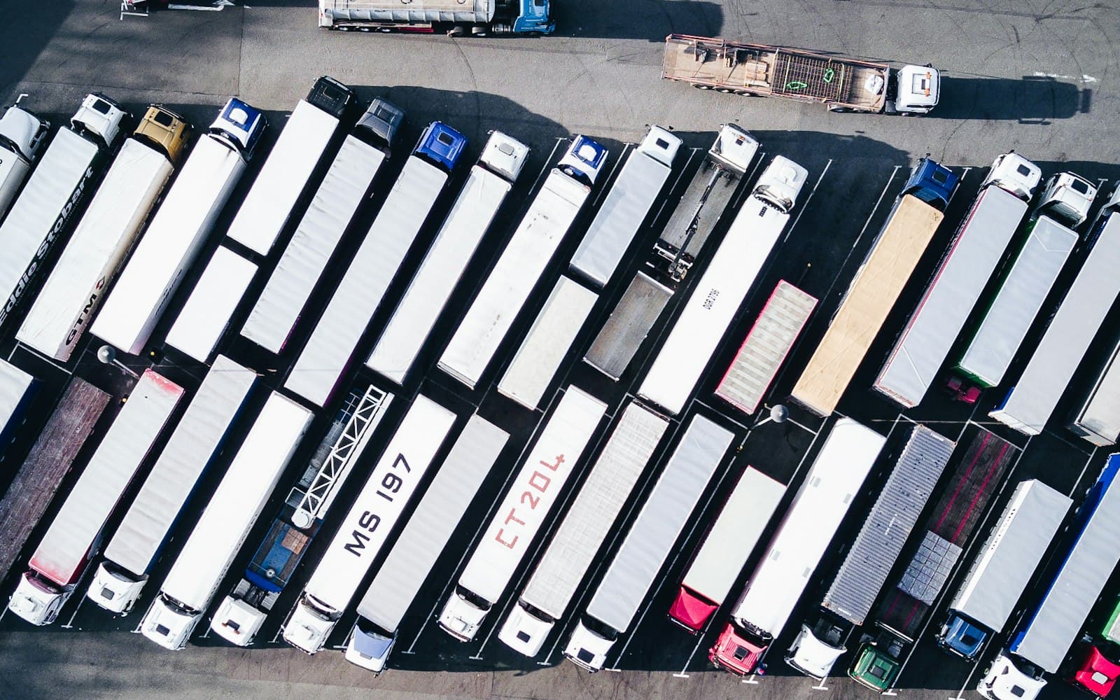
Track anything that moves
One platform for every asset class
Vehicles
Live tracking, engine diagnostics, fault codes, idle reduction.
Trailers
Door, cargo, temperature, and humidity sensors. Detention tracking.
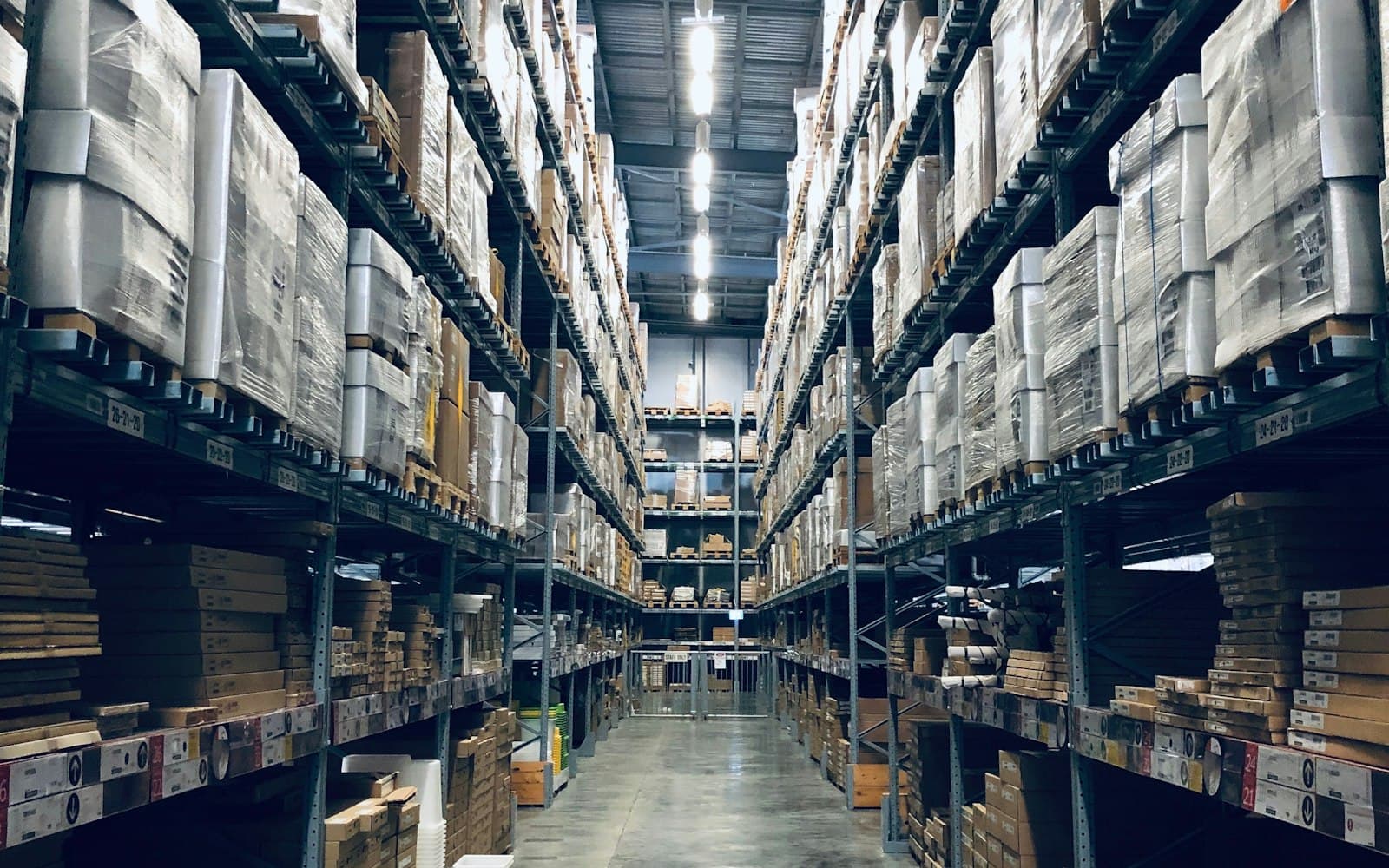
Equipment
Utilization, location, runtime — for procurement and job costing.
Routing & dispatch
Ensure punctuality with integrated routing
Optimization
Plan and analyze routes — improve them every cycle
Plan routes, see deviations, identify the coaching opportunities. Insights make the next route better than the last.
- Multi-stop optimization
- Deviation analysis
- Performance trends
Real-time dispatching
Adapt the moment something changes
When a new order lands or a route changes, dispatch the nearest qualified driver. The change flows to their app and the customer's tracking page.
- Closest-driver routing
- Live re-dispatch
- Customer-facing updates
Performance analysis
Custom reporting
Trip history
Trip-by-trip data to identify trends and coach drivers.
Speeding
Vehicle speed + harsh event data for safety programs.
Time on site
How long each vehicle spends at each location.
See your fleet on the map — live.
We'll mock up a slice of your fleet in the demo so you see what RushHour would look like with your data.